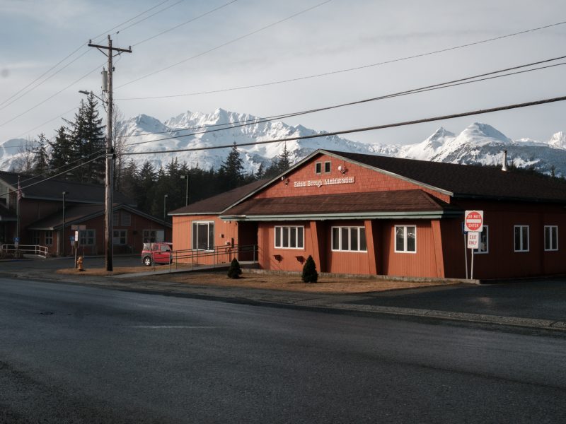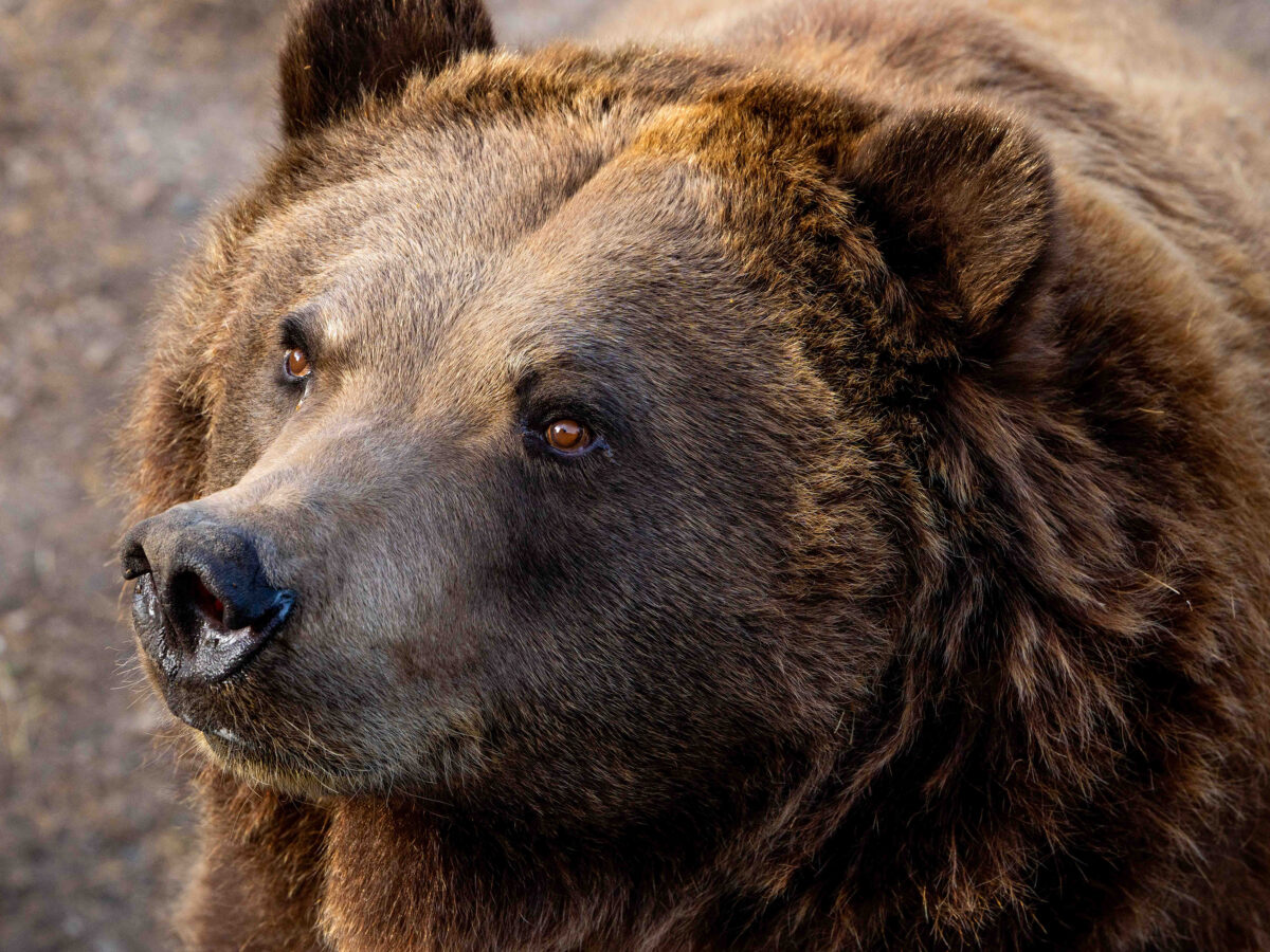

An orphaned brown bear cub captured near Mud Bay in 2006 has died after two decades in captivity. The Minnesota Zoo announced Feb. 24 that staff euthanized the bear after its arthritis and severe joint degeneration worsened over the past year. He was one of three orphaned brown bears raised together and later featured in […]